California is experiencing an epic drought. Last year was the state’s driest year since records have been kept. A drought is scary to a state that grows 25 percent of the nation’s food, typically experiences massive forest fires, and supports an ever-growing population. Lakes, rivers, and reservoirs continue to be depleted. So, how are we still growing crops?
The Groundwater Debacle
Recently, 60 Minutes ran a story about the impact of the California drought on the state’s farmers and natural aquifers. Farmers are being forced to take extreme measures. They hire companies to drill into groundwater sources—wells that can be as deep as the Empire State Building is tall. The impact of pulling groundwater from an aquifer is extremely difficult to measure. Believe it or not, the best way to understand what is going on below the surface is to survey it from space.
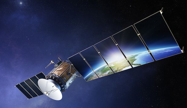
Scientists are using two satellites with a prescribed distance between them to orbit the globe and measure gravity on Earth. When the leading satellite crosses over water, its speed changes. The changes in distance between the two satellites is being used to assess water resources in regions around the world. The data depicting groundwater depletion looks like a heat map, and the change over the last 12 years is alarming. Far too many regions—California’s Central Valley included—have severely depleted groundwater.
Predicting Precious Resources
The extensive amount of data gathered over the last decade can be plugged in to any analytics platform, such as TIBCO Spotfire, to predict future changes. Scientists can dive deeper into their data to understand more about groundwater depletion using predictive analytics and data visualization. Using these analyses to help protect the world’s largest aquifers and the food-growing regions of the world is crucial work—because without water there is no food, and without food… there is war.


