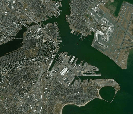
Look up, look down, all around, hey satellite
Did you know that a Satellite view can be added to a Spotfire map visualization? Spotfire maps support multiple layers. One of the layer types that can be added is a Web Map Service (WMS) layer. When a WMS layer is configured, the map is dynamically rendered from a web service and will update automatically as the user pans and zooms. This can be used to augment your map visual with satellite imagery, real-time weather, population data, or any additional geo data available from a WMS service.
There are many open WMS services available, some being offered by government organizations such as NOAA and NASA.
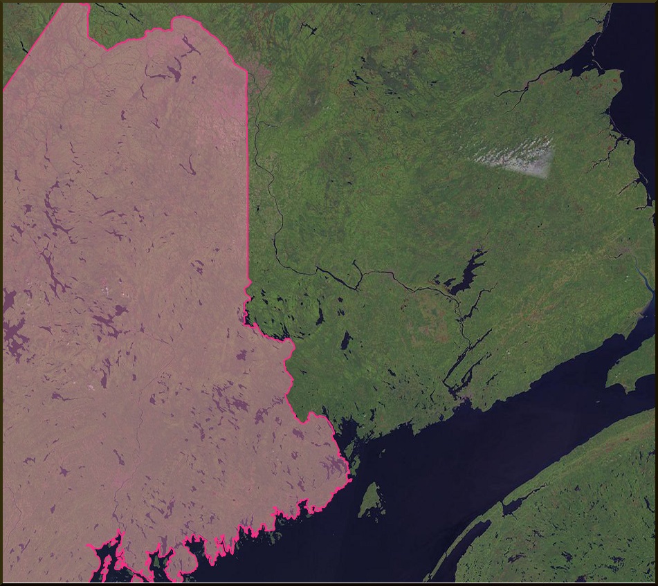
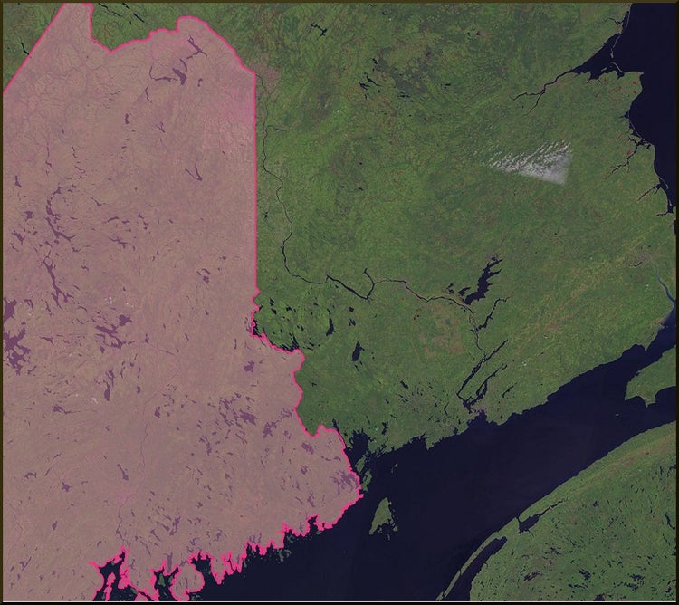
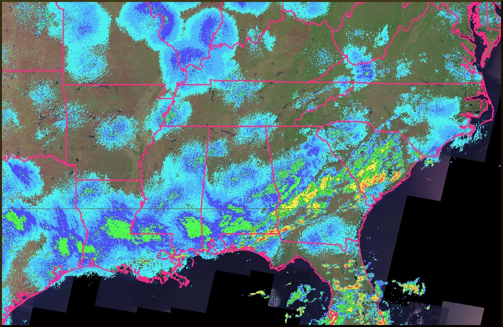
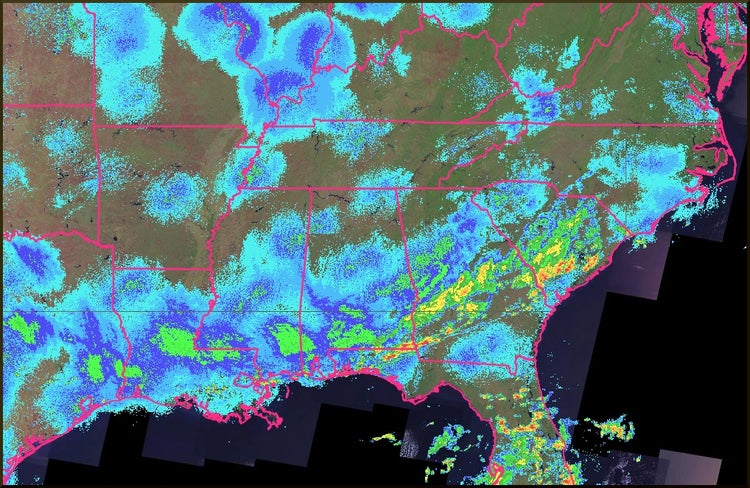
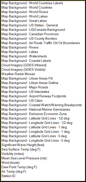
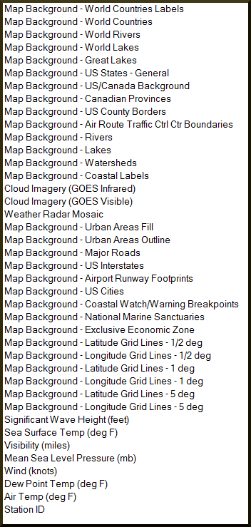
NOAA: http://nowcoast.noaa.gov/wms/com.esri.wms.Esrimap/obs?service=wms&version=1.1.1&request=GetCapabilities
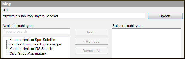
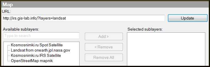
LANDSAT: http://irs.gis-lab.info/?layers=landsat